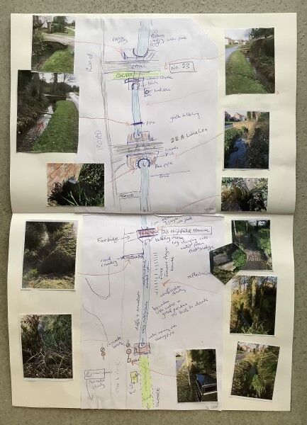
I embarked on this project during the very cold winter of 2022 and the first task was to make a rough map of the of beck as it runs through the village.
I paddled the length of the beck making quick sketches & notes about the many bridges, pipes and other key structures to supplement the photographs taken.
Back in the warmth of the studio I reviewed & printed out some key photos and tidied up the sketch maps & notes
before sticking them in a sketch book to provide a continuous (not to scale) map of the beck.
This map of the beck & the obstacles it encounters during its 1km journey through the village is a useful resource to help with the rest of the project,
some of the completed work is featured in this gallery.